- Teacher: Najlaa Qaseem
- Teacher: Sofyan Sedo
- Teacher: Najmaldin hassan
In this course students are going to be introduced to the basic concepts and operational skills necessary to acquire the most appropriate remote sensing data, data manipulation and analysis, and the production of interpretable output.
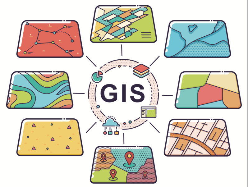
This course provides students with an introduction to the principles of remote sensing and geographic information systems (GIS). The application of these techniques to the environmental and life sciences also will be provided. The first part of the course focuses on remote sensing, including the capture and processing of satellite images, and how data from various satellite platforms are used in the environmental and life sciences. While the second part will include the structure and format of GIS data, data input and transformation, database compilation, and the use of spatial modelling. The course is strongly computer-based, and students will gain experience in the use of ENVI (remote sensing) and ArcGIS (GIS) software.
The objectives of this course are:
To introduce students to the fundamentals of remote sensing, and demonstrate present applications of the technology in integrated & applied sciences including environmental and health science studies;
To develop a basic understanding of the concepts, science and theory behind GIS including organization, management, and visualization of geospatial data;
To become familiar with ENVI & ArcGIS desktop software, and basic introductory technical skills in this software;
Gain experience in the applications of remote sensing and GIS for solving problems in the environmental and life sciences.
- Teacher: ahmed mohammed
- Teacher: Ronak Meshabaz
- Teacher: Mohammed Mohammed
- Teacher: Mohammed othman Mohammed Mohammed